About the operation
A licensed pilot, not just a drone guy
FlightPath Ag is owned and flown by Logan Grant— an FAA-licensed private pilot with a master's degree in uncrewed aircraft systems, based in Pell City. When you hire us, the person planning your airspace, flying your fields, and processing your imagery is the same person whose name is on the business.
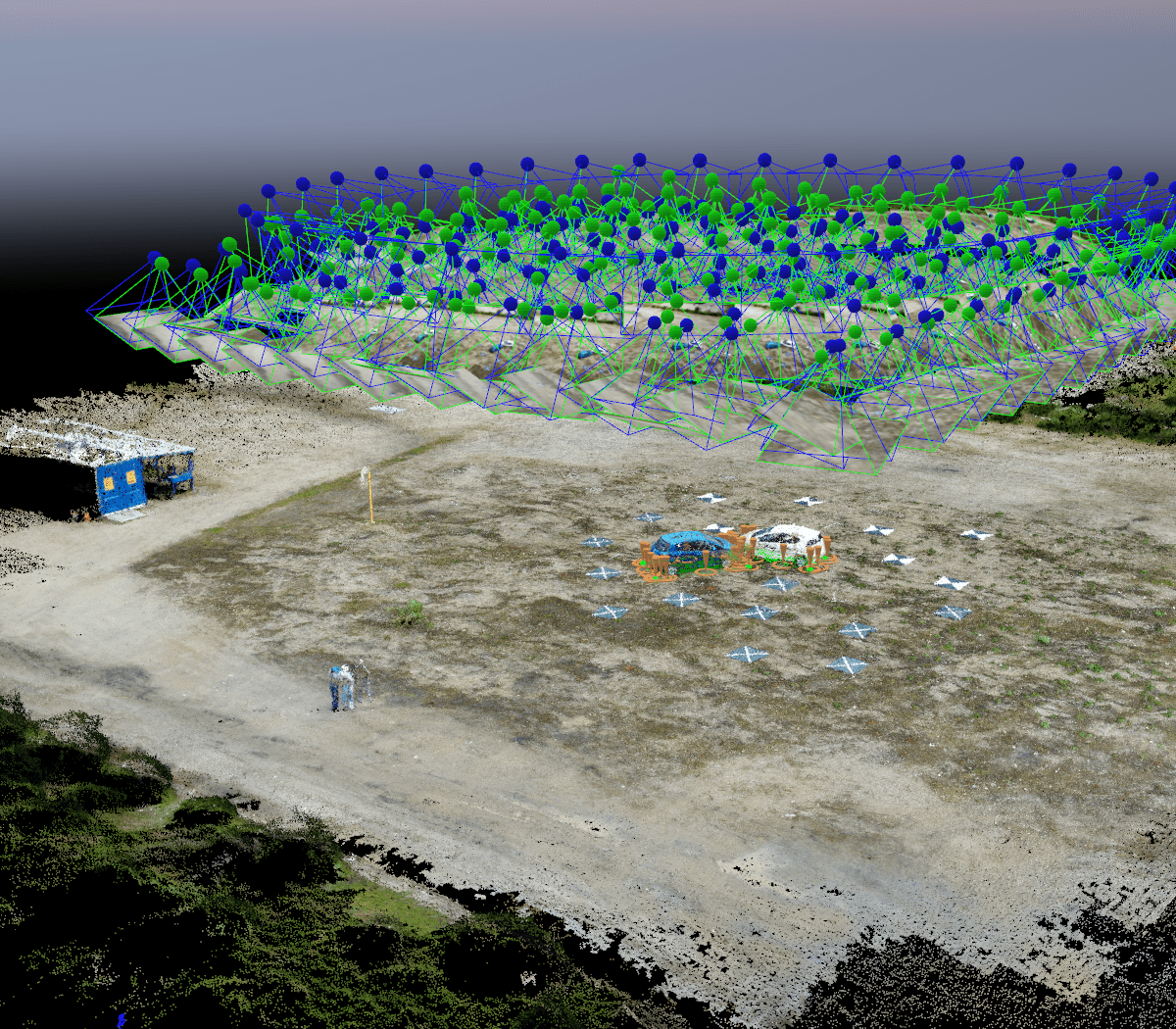
Right now that means mapping — crop health imagery, orthomosaics, and prescriptions, flown with a Mavic 3 Multispectral. Aerial application is the next milestone and it needs an FAA Part 137 certificate we don't hold yet. We'd rather say that plainly than let you find out after you've called.
Credentials
Why the license stack matters
Anyone can buy a drone. The difference shows up in weather calls, drift management, airspace judgment, and what happens when something doesn't go to plan.
FAA Private Pilot License
Real cockpit hours in real weather — airspace, aeronautical decision-making, and the safety culture of manned aviation. Most drone operators hold a 60-question online certificate. A private pilot license is a different education entirely.
M.S., Uncrewed & Autonomous Aircraft Systems
Graduate-level study of flight systems, sensors, autonomous navigation, and airspace integration — the exact engineering behind the aircraft we fly and the data we deliver.
FAA Part 107 remote pilot
Certified for commercial drone operations, with liability coverage on every flight. Aerial application is a separate authority — Part 137 — that we're working toward and don't claim until it's issued.
Professional software developer
The mapping, prescription, and reporting pipeline is built and maintained in-house. Your data arrives clean, fast, and in whatever format your equipment reads — because the person flying the drone also writes the code.
The aircraft
DJI Mavic 3 Multispectral
The mapping workhorse: four multispectral bands plus RGB, RTK positioning, and a sunlight sensor that makes imagery from different days genuinely comparable — which is what turns a picture into a trend.
- Aircraft
- DJI Mavic 3 Multispectral
- Multispectral
- 4 × 5 MP — green, red, red-edge, NIR
- RGB camera
- 20 MP, mechanical shutter
- Sunlight sensor
- Normalizes readings across days
- Positioning
- RTK, ±10 cm accuracy
- Ground resolution
- Sub-inch at survey altitude
- Indices flown
- NDVI · NDRE · GNDVI · LCI · OSAVI
- Deliverables
- GeoTIFF · .shp · .kml · PDF
Operating out of Pell City on the I-20 corridor — the geographic center of our nine-county service area. Mapping needs a clear sky and a high sun, and those windows don't last long. Being close is how we catch them.
Put a name and a license behind your acres
Talk directly to the pilot. No call center, no crew you've never met.